Unlock the secrets hidden beneath Mexico’s surface with GeoInfoMex, your ultimate geological exploration tool. Dive into a world of geoscientific knowledge right from your mobile device and uncover the rich geological wonders that shape this vibrant country. From detailed geological-mining and geophysical data to geochemical maps, mine locations, beneficiation plants, and remarkable rock formations—GeoInfoMex delivers it all. Discover the intricate details of agrarian nuclei through the National Agrarian Registry and immerse yourself in the natural beauty of CONANP-protected areas. Keep track of seismic activity with real-time earthquake updates from SSN and IG-UNAM, and access vital hydrological information from Cencas. With GeoInfoMex, you gain exclusive access to Mexico's most valuable geological treasures—making it your essential companion for every geological adventure.
Key Features of GeoInfoMex:
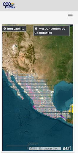
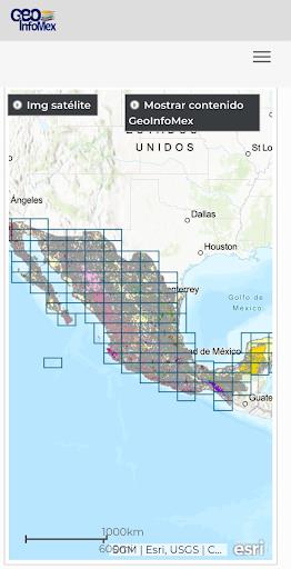
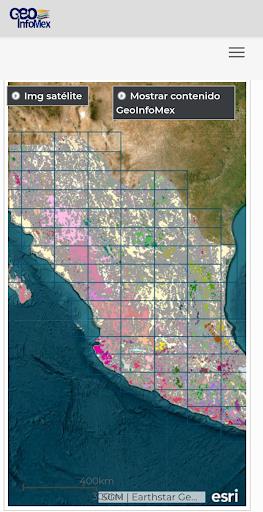
- Extensive Geological Insights: Explore comprehensive geoscientific, geological-mining, and geophysical data about Mexico. Access high-quality maps and detailed reports covering mining activities, geophysical research, and geochemical analysis.
- Mining and Rock Information: Gain access to critical details about mines, mineral processing plants, and prominent rock structures across Mexico. Learn about their geographic location, physical properties, and other relevant technical data.
- Agrarian Land Information: GeoInfoMex integrates data on agrarian nuclei (ejidos) sourced from the National Agrarian Registry. Understand land boundaries, ownership structure, and rural land use patterns with precision.
- Protected Natural Areas: Discover protected ecosystems managed by the National Commission of Natural Protected Areas (CONANP). Whether you're passionate about conservation or planning an eco-tourism trip, this feature provides in-depth insights into Mexico's ecological diversity.
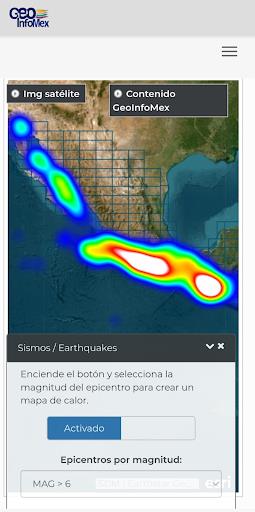
- Real-Time Seismic Alerts: Stay informed with up-to-the-minute earthquake data gathered from trusted sources like the National Seismic Service (SSN) and the Institute of Geophysics at UNAM (IG-UNAM). Monitor recent seismic events, including magnitude, epicenter, and depth.
- Hydrological Intelligence: Access authoritative hydrological reports from the National Water Commission (CNA), including Cencas basin studies. Analyze water availability, watershed health, and water quality metrics to support sustainable resource management.
Final Thoughts:
Whether you're a professional geoscientist, academic researcher, environmental advocate, or simply fascinated by [ttpp]Mexico’s[yyxx] geological makeup, GeoInfoMex is your one-stop platform for accurate, real-time, and interactive geospatial data. Download the app today and start exploring the dynamic and captivating geological story of Mexico—right at your fingertips.